Geography
DensiTree can show geographic information if the sample locations of the
taxa in the tree are known. The easiest way to do this is to
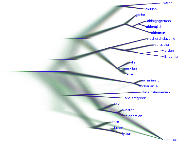
first load the tree set and make it look pretty.
For example, this is a tree set for Indo European languages.
 Then, prepare a KML file with locations of the taxa. You can do
this in google-earth (available at no cost from here).
In google-earth you can specify the locations of taxa with a placemark.
Note that the name of the placemark must be the same as the taxon name
in the tree set. Names are not case sensitive.
Load the kml file from the menu settings/Geography/Load locations.
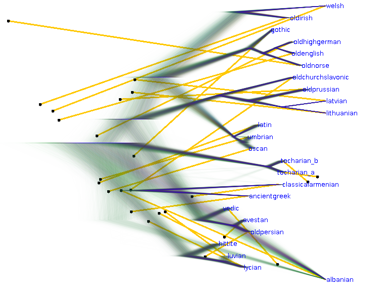
If all taxa have their locations specified in the KML file, DensiTree
will draw lines from the taxons to their locations. The style of the line
can be adjusted with the settings/Geography/Geo line width and color menu
items.
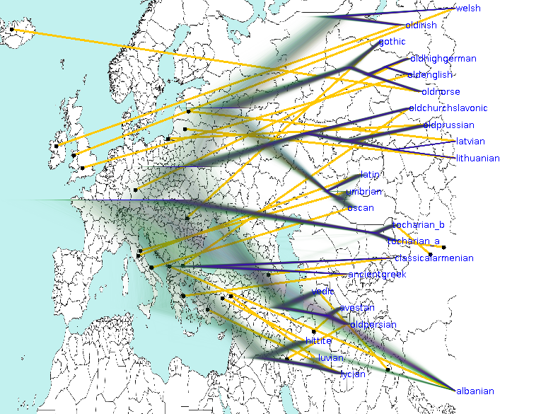
 To show a map in the background, load a background image containing
a map with the File/Background image menu.
 By default, DensiTree assumes that the map is a world map and shows only that
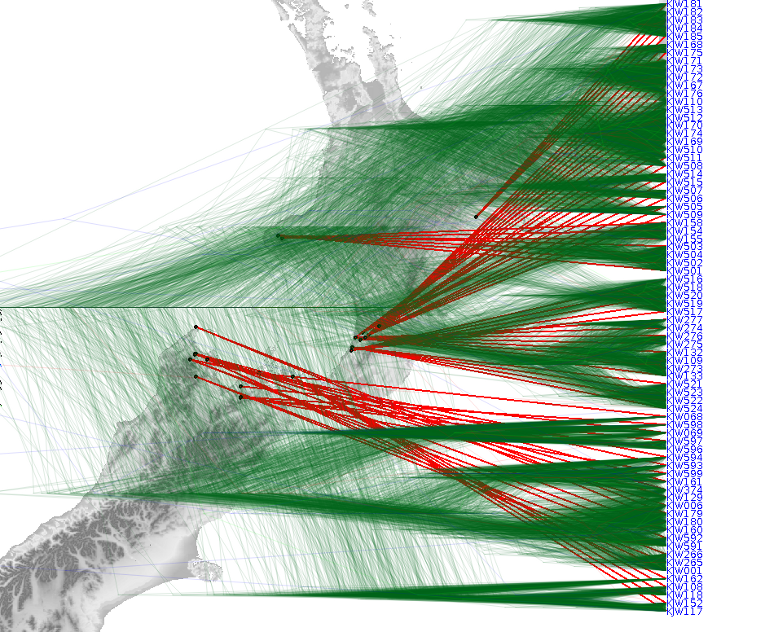
part covered by the taxa locations. However, when taxa are not widely
spread then due to the resolution of the background map the background image
may look too grainy. To get a good resolution background map, the region
covered by the map from corner <lat1>,<long1> to corner
<lat2>,<long2> can be encoded in the image file name as follows
XYZ(<lat1>,<long1>)x(<lat2>,<long2>).png"
for example "NewZealand(-60,140)x(-10,180).png".


